
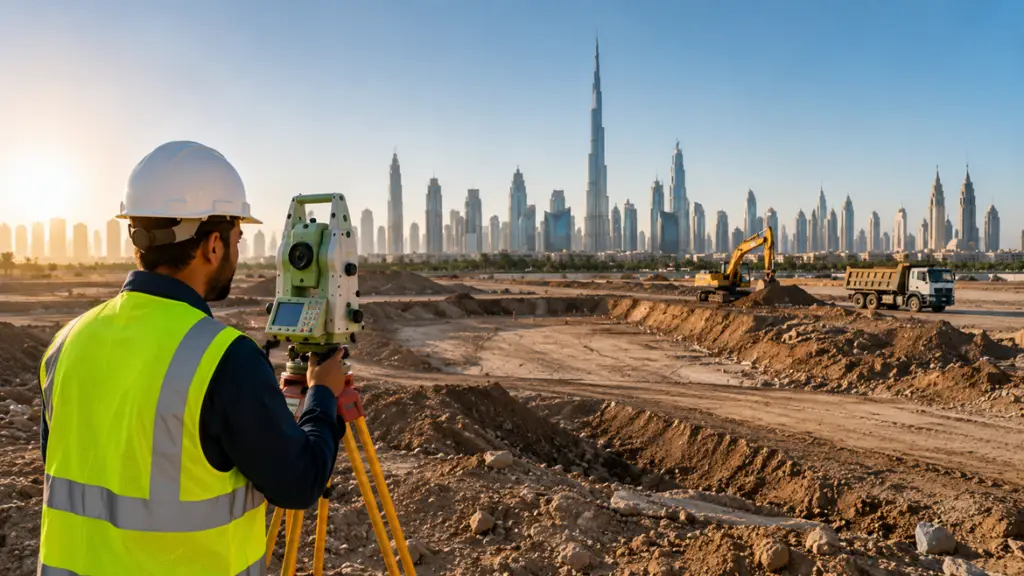
Topographic Survey in UAE: Why It Matters Before Any Construction Project
Every successful construction or land development project starts with one important step — a Topographic Survey. Before architects design, engineers plan, or contractors begin work, it’s essential to understand the land clearly and accurately.
In the fast-growing construction industry of United Arab Emirates, accurate site data helps avoid delays, costly mistakes, and design issues. Whether it’s a residential project, commercial building, road development, or industrial facility, a professional topographic survey provides the foundation for smarter planning.
What is a Topographic Survey?
A topographic survey is a detailed mapping of land features and elevations. It records both natural and man-made elements present on a site, helping project teams understand the terrain before construction begins.
A typical Topographic Survey in UAE may include:
- Ground levels and contours
- Buildings and structures
- Roads and access points
- Trees and vegetation
- Utilities and drainage systems
- Boundary lines and site dimensions
The collected data is then converted into detailed maps, CAD drawings, or 3D models that architects, engineers, and developers can use for planning.
Why Topographic Surveys Are Important in UAE
Construction projects in the UAE often involve complex site conditions and strict approval requirements. Without accurate land information, projects can face unexpected challenges during execution.
Here’s why topographic surveying is important:
Better Project Planning
Survey data helps designers and engineers create plans that match actual site conditions.
Reduced Construction Errors
A detailed survey identifies elevation changes, drainage concerns, and existing structures early in the process.
Faster Approvals
Many authorities and municipalities require accurate survey drawings before approving projects.
Cost Savings
Detecting site issues in advance helps avoid expensive redesigns and construction delays.
Where Are Topographic Surveys Used?
A professional Topographic Survey is commonly used for:
- Residential and commercial construction
- Infrastructure and road projects
- Industrial developments
- Property boundary verification
- Urban planning and land development
- Environmental and drainage studies
Topographic surveys play a key role in supporting modern development across the country.
Modern Technology Used in Topographic Surveying
Today’s surveying methods are faster and more accurate than ever. Professional survey companies use advanced technology to deliver precise results efficiently.
Common tools include:
- GPS systems
- Total stations
- Drone surveys
- 3D laser scanning
- GIS and CAD software
These technologies improve accuracy and help create detailed terrain models for better decision-making.
How is a Topographic Survey Conducted?
The process usually involves:
- Site inspection and project planning
- Field measurements using advanced survey equipment
- Data processing and analysis
- Preparation of maps, drawings, and reports
- Final quality checks and delivery
The final survey output gives project teams a clear understanding of the land and surrounding features.
Why Choosing the Right Survey Company Matters
The accuracy of your survey directly affects the success of your project. An experienced survey company can help reduce risks, improve efficiency, and ensure compliance with local requirements.
When selecting a provider for a Topographic Survey in UAE, look for:
✅ Experienced survey professionals
✅ Modern surveying equipment
✅ Accurate CAD and GIS deliverables
✅ Quick turnaround times
✅ Strong knowledge of UAE regulations
Start Your Project with Accurate Survey Data
A reliable topographic survey helps you plan with confidence and avoid unnecessary project complications later.
At Goodness Survey, we provide professional and accurate Topographic Survey in UAE services for construction, infrastructure, and land development projects.
Our team delivers:
- Detailed topographic maps
- CAD and GIS survey data
- Drone and 3D survey solutions
- Accurate site measurements
- Fast and reliable reporting
Contact Goodness Survey today to discuss your project and get expert support for your next topographic survey requirement in the UAE.